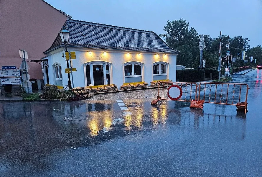
Checking commute or energy certificates is common. However, assessing flood risk often gets overlooked in Austria. This crucial step applies even if no river is nearby.
Flooding in Austria extends beyond riverbanks. Even designated building land, or “Bauland,” can pose a flood risk. Walter Seher, an assistant professor at BOKU University, notes that undeveloped building land might still lie within hazard areas.
Austria offers several public resources for checking any address. Begin with the official HORA natural-hazard map. This tool provides an initial assessment of various natural hazards, including flooding, landslides, and storms. Users can also generate a HORA-Pass summarizing specific address hazards.
Professor Seher also advises consulting geographic information systems (GIS) maintained by individual Austrian provinces. For instance, Lower Austria’s NÖ Atlas features detailed flood data. Provincial maps often include more specific studies than national models.
For serious property considerations, examine the federal government’s WISA flood hazard maps. These maps illustrate potential flooding under different scenarios. Labels like HQ30, HQ100, and HQ300 denote statistical return intervals for floods. Such maps detail expected water depth and flow velocity.
An empty map does not always mean zero risk. Some areas lack comprehensive flood studies, meaning no mapped inundation zone exists yet. Moreover, “Bauland” designations can create a false sense of security. Land designations may be old, and hazard situations can change.
Intensive rainfall can cause surface-water runoff, known as “Oberflächenabfluss.” This can quickly inundate basements and garages. Additionally, rising groundwater poses another significant risk. The September 2024 floods highlighted this danger, particularly along Lower Austria’s Perschling.
A property might sit behind a flood defense system. However, these systems, often designed for specific flood levels like HQ100, do not eliminate all risk. They can be overwhelmed or fail. Martin Angelmaier, from the Lower Austrian government’s Water Management Department, stresses that residual risk (“Restrisiko”) always remains. Therefore, consider rarer scenarios like HQ300.
Always inquire about past flooding at the property. Check cellars, underground garages, and other low-lying areas. Evaluate how water could reach the building during heavy rain. Assess entrances and underground spaces relative to surrounding terrain.
Hazard assessments reflect current information. Climate change, however, continually alters this landscape. Experts predict more frequent and intense heavy-rain events. Consequently, related hazards like surface runoff and small-scale landslides are increasing. Checking flood risk maps is crucial before any long-term property investment.